Viktor Zimmermann · 1 November 2026
Citizen-Led Data from Northern Seas Bolsters Genetic Repositories While Tracking Contaminant Patterns Around Marine Habitats
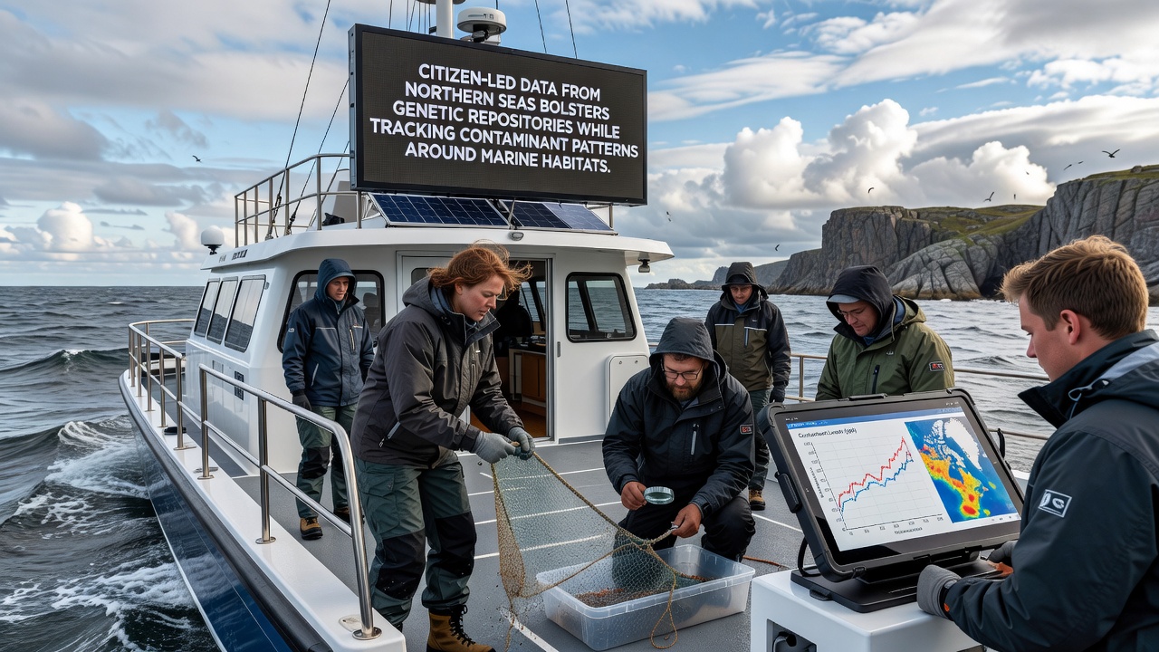
Volunteers across the North Sea and Norwegian Sea have expanded marine monitoring efforts in recent years, and their contributions now feed directly into centralized genetic databases while mapping pollutant distributions around key habitats. Data collection occurs through standardized protocols that include water sampling, sediment coring, and non-invasive tissue collection from fish and invertebrate populations, and these activities align with broader regional frameworks established by environmental agencies.
Expansion of Genetic Repositories Through Volunteer Networks
Northern Seas projects coordinate sampling campaigns that target species such as Atlantic cod, haddock, and various crustaceans, and participants submit preserved specimens to facilities maintaining repositories like those operated under the European Marine Biological Resource Centre network. Each submission includes metadata on location, depth, and collection date, which allows curators to track genetic diversity shifts over time. In November 2026, several regional hubs plan to release updated sequence libraries that incorporate the latest citizen-submitted batches, and these releases will support ongoing studies of population connectivity across the Norwegian Trench and Dogger Bank areas.
Researchers at institutions in Norway and Scotland integrate the incoming material into existing archives, and the process involves DNA extraction followed by whole-genome sequencing for select individuals. The resulting datasets reveal allele frequency changes that correlate with observed temperature variations and fishing pressure zones. Observers note that volunteer coverage has filled gaps left by ship-based surveys, particularly in nearshore kelp forests and shallow banks where access remains logistically challenging for larger vessels.
Contaminant Pattern Mapping and Habitat Monitoring
Alongside genetic sampling, participants measure concentrations of polycyclic aromatic hydrocarbons, heavy metals, and persistent organic pollutants in surface waters and sediments. Portable test kits and laboratory submission pipelines feed results into shared geospatial platforms maintained by the European Environment Agency, and these platforms generate seasonal contour maps that highlight accumulation hotspots near shipping lanes and former oil exploration sites. One long-running program along the Norwegian coast has documented declining mercury levels in certain fjord systems since 2022, while elevated cadmium readings persist in sediments near industrial outflows in the southern North Sea.
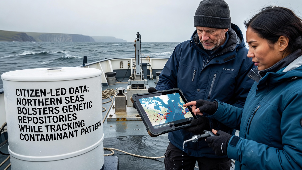
Cross-referencing contaminant profiles with genetic repository entries allows analysts to examine potential correlations between pollutant exposure and genetic markers associated with detoxification pathways. Studies conducted by teams at the University of Bergen and the Scottish Association for Marine Science examine whether certain haplotypes appear more frequently in areas with higher contaminant loads, and preliminary outputs from 2025 field seasons indicate measurable differences in expression patterns for cytochrome P450 genes in cod populations.
Integration with Regional Conservation Frameworks
National agencies in Denmark, the Netherlands, and Germany incorporate citizen-derived layers into marine spatial planning tools, and these layers influence decisions on protected area boundaries and dredging permits. Data flows through the OSPAR Commission’s information system, which aggregates inputs from multiple northern European sources and produces annual status reports on habitat condition. The addition of high-resolution genetic and chemical records strengthens the evidence base used during periodic reviews of the Marine Strategy Framework Directive targets.
Training programs run by local universities and diving clubs maintain consistency across volunteer groups, and certification modules cover sample handling, chain-of-custody documentation, and basic quality-control checks. Coordination meetings held twice yearly rotate among partner ports, and these gatherings allow refinement of field methods based on emerging laboratory feedback. Participation numbers have grown steadily, with over 1,200 registered contributors active in 2025 across the combined North Sea and Norwegian Sea networks.
Future Data Releases and Analytical Developments
Planned updates scheduled for November 2026 will include expanded contaminant time-series visualizations alongside new genomic assemblies from additional species such as Norway lobster and horse mussel. Machine-learning models trained on the combined datasets aim to predict contaminant dispersion under different climate scenarios, and initial validation runs show improved accuracy when citizen-collected nearshore points supplement offshore buoy readings. Linkages with parallel programs in Canadian Atlantic waters and Australian temperate reefs provide comparative benchmarks, although geographic and species differences limit direct transferability.
Conclusion
The combined genetic and contaminant datasets generated through citizen participation now form a core component of Northern Seas environmental monitoring infrastructure. Continued expansion of volunteer networks, coupled with standardized data pipelines, supports both repository growth and spatial understanding of pollution dynamics around sensitive habitats, and these resources remain available for use by regulatory bodies, academic researchers, and management authorities across the region.