Anna Simmons · 18 October 2026
Citizen Participation in Marine Monitoring Enhances Predictive Models for Biodiversity Resilience
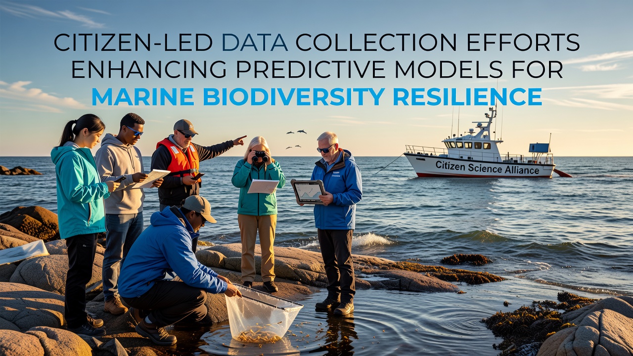
Volunteer networks across multiple continents have expanded their role in gathering field observations that feed directly into computational models used to forecast changes in ocean ecosystems, and these contributions have grown steadily since the early 2020s because traditional research vessels cannot cover every coastal and offshore zone at the required frequency.
Scale of Volunteer Data Inputs
Programs operating in the United States, Australia, and the European Union now compile millions of individual records each year on species sightings, water temperature, salinity, and habitat conditions, with data aggregated through standardized mobile applications that allow participants to upload photographs and measurements in real time. In October 2026 several regional platforms reported a combined total exceeding 2.8 million validated entries for the preceding twelve months, and researchers at institutions such as the National Oceanic and Atmospheric Administration have integrated these streams into ensemble models that simulate species distribution shifts under varying climate scenarios.
Because the observations arrive from thousands of dispersed locations rather than a limited set of fixed stations, the spatial resolution of input layers has increased markedly, allowing algorithms to detect localized patterns that coarser datasets previously smoothed over.
Technical Integration with Modeling Frameworks
Machine-learning pipelines maintained by academic consortia combine citizen-collected variables with satellite-derived ocean color data and autonomous buoy readings, and the resulting hybrid datasets undergo quality filtering that flags outliers for manual review by trained coordinators. Studies published through the Commonwealth Scientific and Industrial Research Organisation demonstrate that models retrained on these augmented inputs reduce uncertainty ranges in projected biomass changes by 15 to 22 percent compared with earlier versions that relied solely on professional surveys.
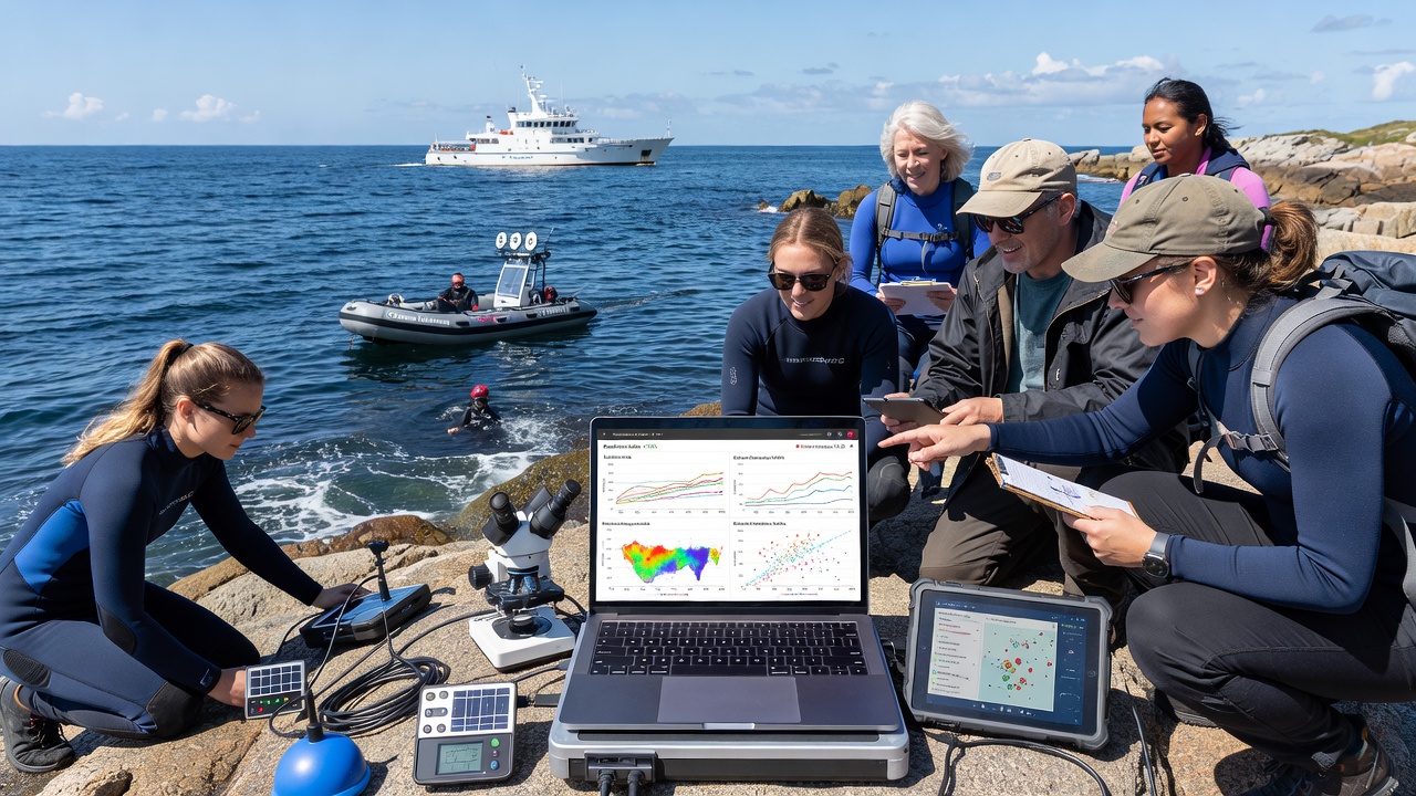
Validation protocols require cross-referencing of photographic evidence against expert-verified catalogs, and repeated submissions from the same geographic cells help establish temporal trends that strengthen the statistical power of trend detection.
Regional Program Examples
Along the Great Barrier Reef, participants log coral bleaching indicators and fish abundance during scheduled transects, while similar efforts in the Baltic and Mediterranean record plankton density and nutrient levels that feed into hydrodynamic models operated by European marine research centers. In North American waters, programs coordinated through state agencies and university extensions have documented range expansions of temperate species into higher latitudes, and these records are merged with historical archives to calibrate migration forecasts.
Each dataset undergoes metadata standardization so that variables such as observation depth, time of day, and gear type remain comparable across projects, and open-access repositories allow modelers to download cleaned subsets without additional processing steps.
Future Data Volume and Model Refinement
Projections from several coordinating bodies indicate that annual contributions could surpass four million records by 2028 if recruitment and retention rates hold, and developers continue to refine mobile interfaces to reduce entry errors while preserving the breadth of parameters volunteers can report. The addition of acoustic and eDNA sampling kits distributed to select participant groups has further diversified the data types available for model training, although these specialized streams still represent a smaller fraction of total volume.
Conclusion
Distributed volunteer monitoring has become a recognized component of the data infrastructure supporting marine biodiversity forecasts, and the ongoing expansion of these networks supplies the volume and geographic coverage required to improve model resolution. Continued coordination between citizen platforms, government agencies, and research institutions sustains the flow of observations that underpin resilience projections for ocean ecosystems.