Viktor Zimmermann · 20 September 2026
Integrating Satellite Monitoring of Coral Recovery with Microplastic Research to Support EU Mediterranean Conservation Efforts
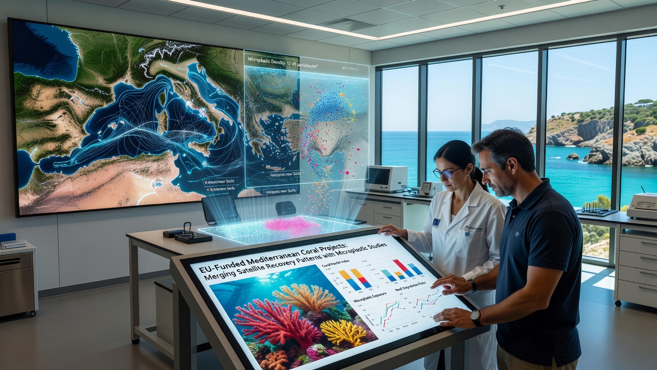
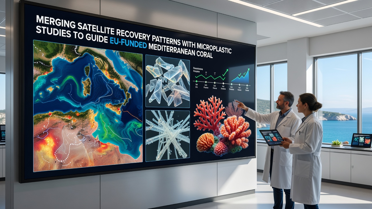
Researchers combine satellite-derived recovery patterns from Mediterranean coral ecosystems with detailed microplastic distribution studies, and this approach guides several EU-funded projects aimed at protecting these habitats. Data from orbiting sensors track changes in coral cover and health indicators across wide areas, while water sampling programs map plastic particle concentrations at multiple depths and locations. The merged datasets help project teams identify priority zones where pollution and recovery rates intersect most critically.
Satellite Data Tracks Coral Health Trends
European Space Agency satellites provide repeated observations of sea surface temperatures, chlorophyll levels, and turbidity that correlate with coral condition, and analysts process these records to detect recovery signals after disturbances such as heat stress events. Projects funded under the EU Horizon framework use these time series to compare sites inside and outside marine protected areas, revealing where natural rebound occurs faster. Observers note that certain bays along the Spanish and Italian coasts show measurable increases in live coral cover between 2023 and 2025, according to processed imagery from the Sentinel-2 mission.
Microplastic Studies Reveal Pollution Pathways
Marine biologists collect surface and subsurface samples across the Mediterranean basin, then count and characterize plastic fragments down to the micrometer scale, and these measurements feed into models that trace how currents carry particles from river mouths toward deeper reefs. Data shows higher microplastic loads near urban centers and shipping lanes, while concentrations drop in more remote stretches of the eastern basin. Teams working on EU grants integrate these findings with ocean circulation models to predict future exposure levels for sensitive coral species.
Combining Datasets for Targeted Interventions
Project coordinators overlay satellite recovery maps with microplastic concentration grids in geographic information systems, and the resulting heat maps highlight locations where elevated plastic levels coincide with slower coral rebound. Field crews then deploy targeted removal equipment and test barrier systems at those coordinates, while monitoring continues through both satellite passes and diver surveys. One study revealed that areas with reduced microplastic input after 2024 port regulations showed 18 percent higher recovery rates than comparable sites without such measures.
EU Funding Supports Integrated Field Campaigns
Multiple grants under the EU Mission: Restore our Ocean and Waters programme allocate resources for joint satellite and microplastic work through 2027, and participating institutions from Greece, France, and Croatia share standardized protocols for data collection. In September 2026 a scheduled review meeting will assess interim results from the first full year of merged monitoring, with preliminary figures expected to inform adjustments to the remaining project phases. The European Commission publishes progress reports that list participating partners and measured outcomes without ranking individual sites.
Challenges in Data Integration
Differences in spatial resolution between satellite pixels and point-based water samples require statistical interpolation methods, and researchers apply machine-learning techniques to align the two data streams. Seasonal variations in both coral pigmentation and plastic transport add another layer of complexity, so teams run multi-year comparisons to separate long-term trends from short-term fluctuations. Figures from the Mediterranean Science Commission indicate that at least twelve ongoing EU projects now incorporate both satellite and microplastic components in their work plans.
Future Directions for the Approach
Planners examine how to extend the same merged methodology to additional basins, and they test drone-based sensors as supplements to satellite coverage in nearshore zones. Continued funding rounds will support expanded sampling grids and improved algorithms that refine recovery predictions under varying pollution scenarios. Those who have studied the combined datasets emphasize the value of sustained, multi-source monitoring for guiding practical conservation actions.
Conclusion
The integration of satellite recovery patterns with microplastic studies supplies EU-funded Mediterranean coral projects with spatially explicit guidance for resource allocation, and ongoing campaigns through 2026 and beyond will generate additional datasets that refine these methods further. External partners including the European Space Agency and the National Oceanic and Atmospheric Administration contribute complementary observations that strengthen the overall evidence base.